
Archives

3D Laser Scanning Construction Documentation
Provide accurate data for measurement, planning and development.
Read More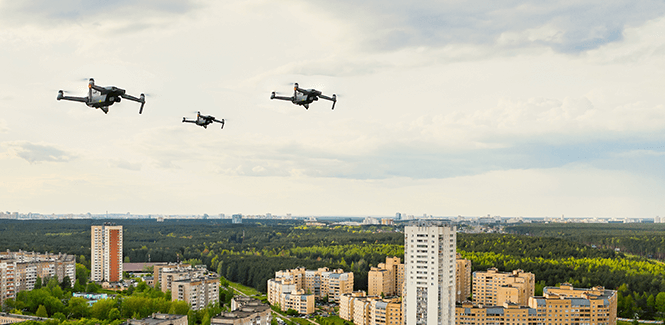
Drone Documentation
Drones can quickly and efficiently measure and document surface details of large areas.
Read More
GPR Scanning
Create complete maps of the subsurface with this minimally invasive locating method.
Read More