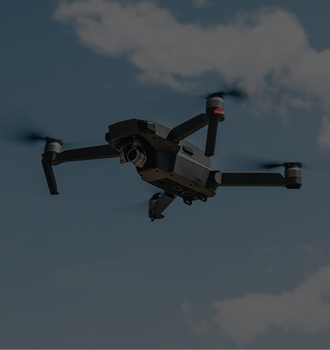
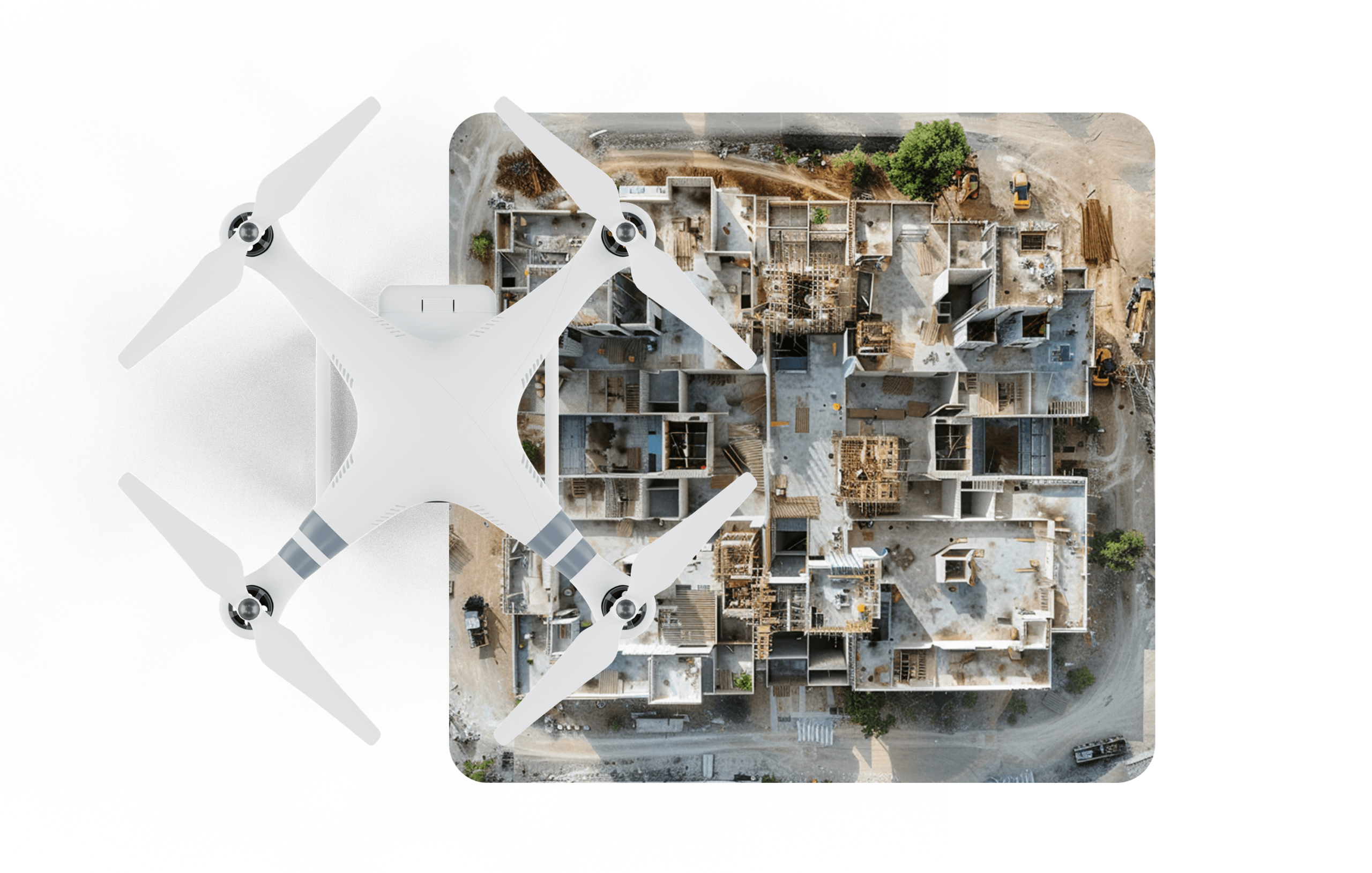
Drone Documentation

Time to get another perspective on your project

Drone Documentation

Transforming the AECC Industry

Drone Documentation not only complements your existing documentation but completes it. Use superior technology to make your project even more tangible.

Get Started Today

Drone

Documentation Uses

Expand your field of view

Drone documentation allows you to see your project, home or construction site from completely new angles. Get a bird’s-eye view to create videos, images and scans accurately. Drone documentation perfectly complements traditional 3D laser scans and makes you see your project as a whole.

Get Started Today

world-class customer service

Our Process

  • Job Agreement

    You tell us what you need, and we’ll offer you the perfect solution.

  • Site Preparation

    Our team gets an impression of the site and the surrounding.

  • Drone Deployment

    You lean back while our team is taking videos and pictures of your building from any possible angle.

  • Upload Data

    The collected footage will be uploaded, so you have full access to all the photos and videos that were taken.

Frequently Asked Questions

What is drone documentation in the context of construction projects?

Drone documentation involves the use of unmanned aerial vehicles (drones) equipped with cameras or sensors to capture high-resolution imagery and data of construction sites. It provides valuable visual documentation and surveying capabilities for enhanced project planning, monitoring, and decision-making.

How can drone documentation benefit construction projects?

Drone documentation offers numerous benefits to construction projects. It provides accurate aerial imagery for site surveys, progress monitoring, and 3D modeling. Drones can efficiently capture data from hard-to-reach areas, reducing the need for manual inspections and improving safety. The detailed visual data obtained from drones helps in identifying potential issues, tracking construction progress, and enhancing communication among project stakeholders.

Does ScanBuilds provide drone documentation services?

Yes, ScanBuilds offers professional drone documentation services. Our team of skilled drone pilots and imaging specialists utilize advanced drone technology to capture high-resolution imagery and data of construction sites. We are equipped to handle various aspects of drone documentation, including topographic mapping, site inspections, progress monitoring, and 3D modeling.

Are there any legal regulations or permits required for drone documentation in construction projects?

Yes, drone operations are subject to regulations set by aviation authorities in different countries. In the United States, for example, the Federal Aviation Administration (FAA) regulates drone operations. Depending on the location and specific project requirements, obtaining permits and complying with regulations may be necessary. At scanbuilds aecc, we ensure strict adherence to all legal requirements and possess the necessary permits and certifications for conducting drone operations.

How can I access and utilize the drone documentation captured for my construction project?

Once the drone documentation is captured, it can be made accessible to you through our customer portal. You will have the ability to view and download the high-resolution imagery, 3D models, and other data collected by the drones. This documentation can be used for project reviews, presentations, stakeholder communication, and future reference. The easy accessibility of drone documentation through our customer portal facilitates efficient project management and collaboration.

Our Portfolio

Minimizing Costs, stress, time effort and pitfalls while maximizing your advantages.

3D Laser Scanning Construction Documentation

View Gallery

Drone Documentation

View Gallery

As-Builts

View Gallery

GPR Concrete Scanning

View Gallery